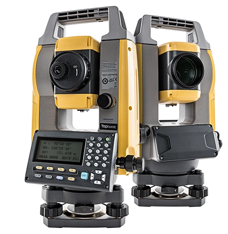
Total Station
Model : Topcon GM-50Series
Unit : 1
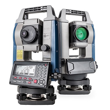
Total Station
Model : Sokkia Primless iM-
52
Unit : 1
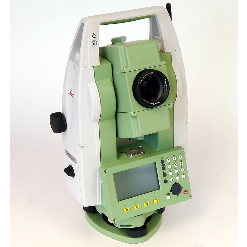
Total Station
Model : Leica TS06 Plus
Unit : 1
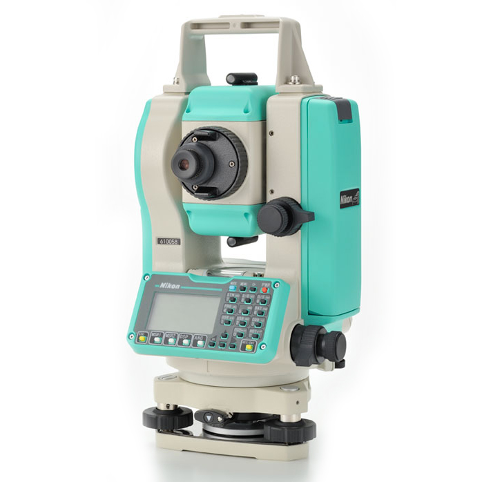
Total Station
Model :Nikon DTM 352
Unit : 1
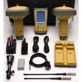
GPS
Model : Topcon GNSS (GR3)
Unit : 1
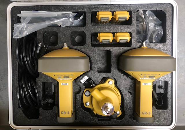
GPS
Model : Topcon GNSS (GR5)
Unit : 1
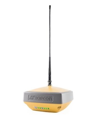
GPS
Model : Topcon GNSS (Hiper
VR)
Unit : 2
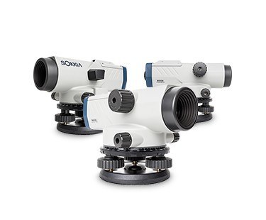
Level
Model : Dumpy Levels
Sokkia D3S
Unit : 1
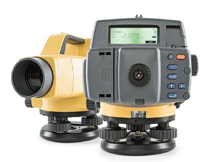
Level
Model : Topcon Electronic
Digital Level DL-503
Unit : 1
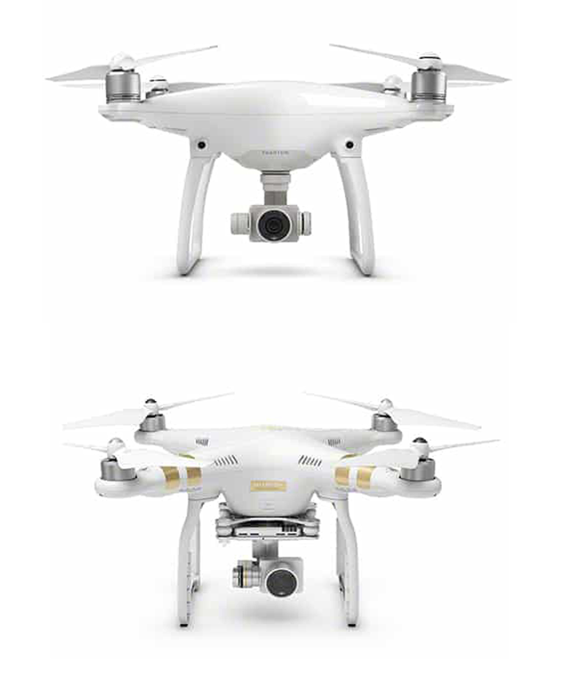
Drone
Model : UAV DJI Phantom 3
Unit : 1
Model : UAV DJI Phantom 4
Unit : 1
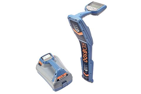
Electromagnetic Locator (EML)
Model : RD8100
Unit : 1
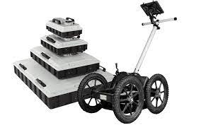
Ground Penetrating Radar
Model :MALA GX450 HDR
Solution
Unit : 1
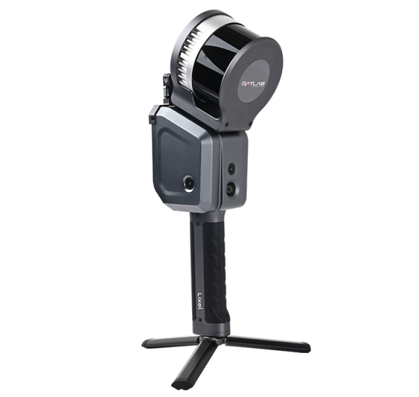
3D Lidar Scanner
Model : Lixel X1 3D SLAM Lidar Scanner
Unit : 1
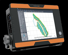
Model : CHC D390 Echo Sounder Single Frequency
Unit : 1

Bricscad
BricsCAD is a software application for computeraided design (CAD), developed by Bricsys nv.

CDS
CDS software is developed by Foresoft Pty Ltd Australia which consists of a suite of powerful design modules that interact seamlessly with the advanced digital terrain modelling and industrial strength CAD engines.

Terra-Teava
For utility work mapping
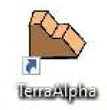
Terra-Alpha
For earthwork work such as topography, contour, cross-section etc.

Quantum GIS
A free and open-source cross-platform desktop geographic information system (GIS) application that supports viewing, editing and analysis of geospatial data.

eFB2F
Software for ASCII data processing.